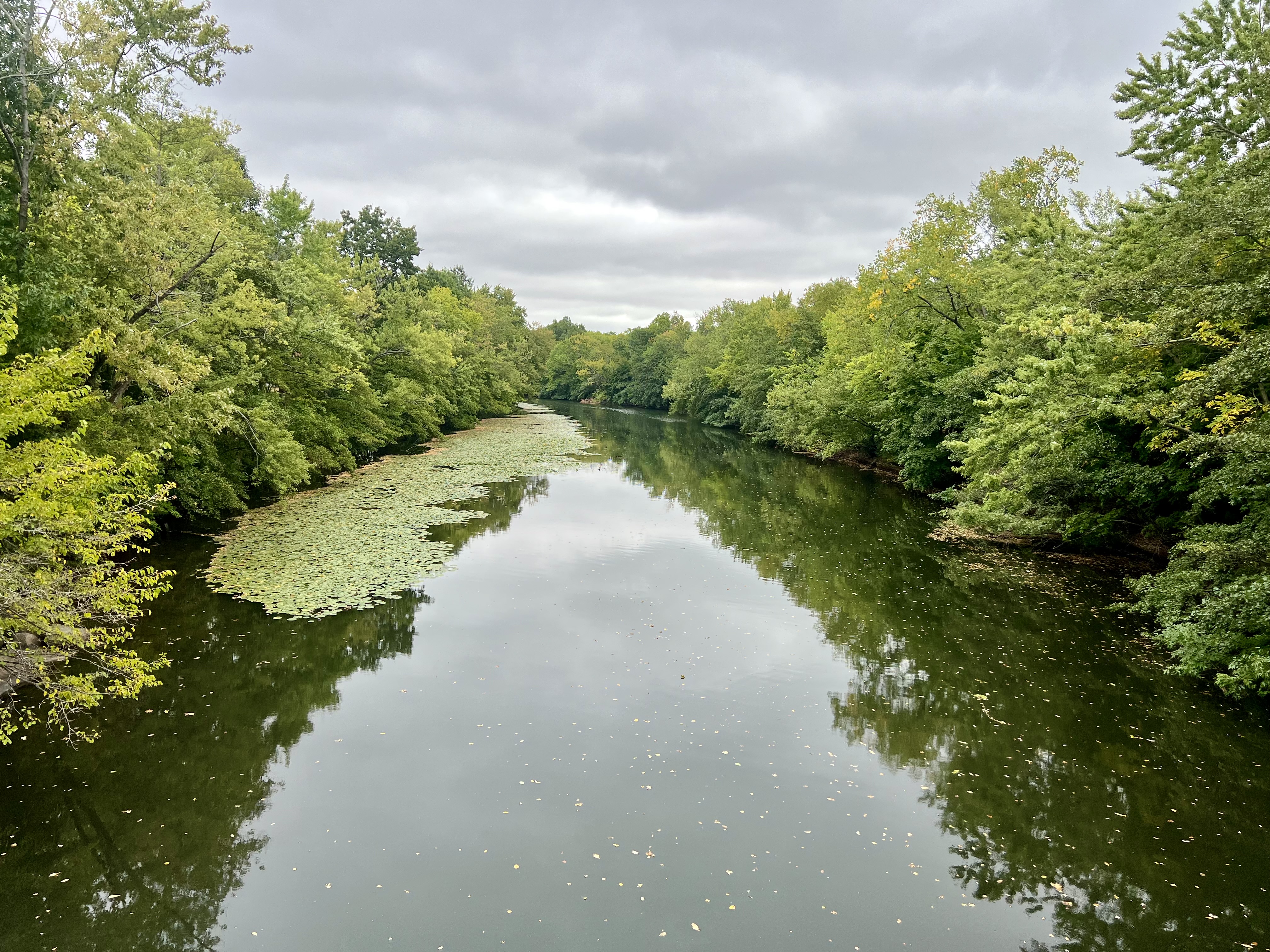
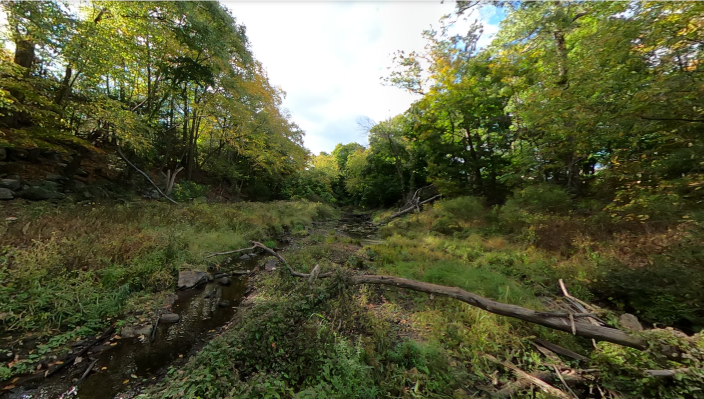
Leverage immersive virtual tours and professional geomorphic assessments for better river management and stakeholder engagement
We provide municipalities, consulting firms, and other organizations with immersive virtual tours that showcase environmental and geomorphic data. From basic tours to in-depth geomorphic assessments, we help you visualize, quantify, and understand the landscape. Our intuitive approach to environmental data visualization will help the public engage with their natural and recreation resources, help stakeholders and resource managers better understand these dynamic systems, and smooth collaboration on river projects by bringing an interactive model of the site to your desktop.
Includes 360-degree panoramas with basic navigation and information hotspots. The tour will include:
Comprehensive tours with professional geomorphic data integration and reporting. We can provide:
How else would you like to characterize your site? We can develop and integrate: